Lot contour map (free, not a survey)
- Parcel and aerial
- Contour lines and labels
- High and low points
- Slope classes
- Drainage arrows
- Source LiDAR and limits
Homeowners planning a pool, ADU or drainage fix
Free contour map for your lot from public LiDAR: contour lines, high and low points and drainage direction. For planning, not a topographic survey.
ePlan fills in
How it works
What you get
The check is free. The paperwork after it is drafted at the Grading and erosion control plan door.
From public data
of clearing or grading is where a project needs federal construction stormwater permit coverage
Source: 40 CFR 122.26(b)(15), eCFR
Draft the erosion and sediment control plan, grading narrative and dust control plan your city or county wants with the grading permit. Free to read.
Questions
No. In California, determining the contour of the earth's surface for others is land surveying under Business and Professions Code 8726. A LiDAR map helps you plan; a permit that asks for a topographic survey needs a licensed surveyor.
Federal rules cover clearing, grading and excavating that disturb one acre or more, including smaller lots in a larger plan of development. Your city or county may have its own grading permit at smaller sizes.
Yes. FEMA's free FIRMette tool prints a full-scale section of the official flood map on a home or office printer, and FIRMettes can be used in all aspects of the National Flood Insurance Program.
Related doors
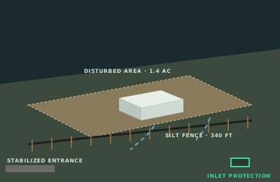
Where are you grading?
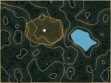
Where does the road cross the stream?

Where is the project and what's being built?
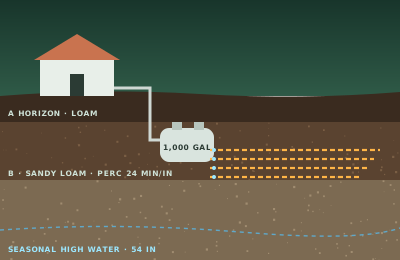
Where is the excavation?
Where is the project?
Where is the construction site?
Answer it and ePlan opens the Grading and erosion control plan door with your answer filled in.