Permit map sheet set (free)
- Vicinity map with site
- USGS topo with site marked
- Aerial photo with project area
- FEMA FIRMette
- Mapped wetlands and streams
- Title block, north arrow and scale
Permit applicants, contractors and grant writers
Free permit map sheets for your site: vicinity map, USGS topo with the site marked, aerial, FEMA FIRMette and mapped wetlands, with a title block.
ePlan fills in
How it works
What you get
The check is free. The paperwork after it is drafted at the Pre-Construction Notification door.
From public data
is how long the Army Corps has to respond after it receives a complete nationwide permit notification
Source: 33 CFR 330.1(e)(1), eCFR
Draft the Army Corps pre-construction notification (ENG Form 6082) for a dock, bank repair or small crossing. Wetlands and species checked. Free to read.
Questions
A full-scale section of a FEMA Flood Insurance Rate Map that you make yourself and print on a home or office printer. Full maps are about two by three feet, and FIRMettes can be used in all aspects of the National Flood Insurance Program.
USGS topographic maps first published on paper from 1884 to 2006 are scanned and free to download through topoView. Maps published as digital documents in 2009 and later are the US Topo series.
A complete description of the activity with drawings, sketches or plans sufficient for public notice, plus its location, purpose and need, schedule, adjoining owners and other permits. Detailed engineering plans are not required.
Related doors
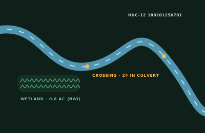
Where is the work in or near water?

Where are your California work sites?
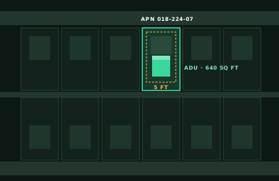
What's the property address?
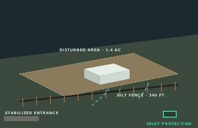
Where is the construction site?
Where is the work in the street?
Where are you grading?
Answer it and ePlan opens the Pre-Construction Notification door with your answer filled in.