Soils and wetlands screening note (free)
- Parcel and soil map units
- Septic absorption field rating
- Dwellings and basements rating
- Hydric soils
- Mapped wetlands
- Flood zone
Land buyers, home builders and septic designers
Free plain-language soils summary for your parcel: septic limits, building limits, hydric soils, mapped wetlands and flood zone. Not a perc test.
ePlan fills in
How it works
What you get
The check is free. The paperwork after it is drafted at the Septic permit door.
From public data
of US counties have NRCS soil maps and data online in Web Soil Survey
Source: USDA NRCS Web Soil Survey
Enter the property: ePlan pulls soils, slope and flood data, estimates the system type and drafts your county septic permit application. Free to read.
Questions
No. The Wetlands Mapper uses a biological definition of wetlands and makes no attempt to set the limits of any regulatory program. Before work that could affect wetlands, the Fish and Wildlife Service recommends contacting your local Army Corps regulatory office.
From the USDA NRCS soil survey. Web Soil Survey has soil maps and data online for more than 95 percent of the nation's counties and is maintained as the single authoritative source of soil survey information.
Areas inundated or saturated by surface or ground water often and long enough to support, and that normally do support, a prevalence of vegetation adapted to saturated soil. Swamps, marshes and bogs are typical examples.
Related doors
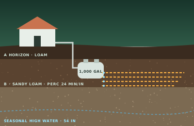
Where will the septic system go?
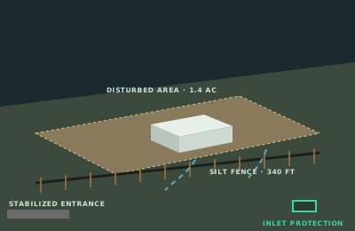
Where is the project?
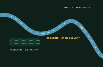
Where does your plant discharge?
Which site are you inspecting today?
What are you sizing?
Where is the construction site?
Answer it and ePlan opens the Septic permit door with your answer filled in.