Site base map (free, not a survey)
- Lot and parcel lines
- Building footprints
- Roads and driveways
- Contours and spot elevations
- Aerial underlay
- Coordinate system and units
Architects, landscape designers and students
Free site base map for a lot: parcel lines, building footprints and LiDAR contours in one coordinate system, ready for CAD. Not a survey.
ePlan fills in
How it works
What you get
The check is free. The paperwork after it is drafted at the Grading and erosion control plan door.
From public data
of land disturbance is where federal construction stormwater permit coverage starts, including smaller lots in a larger plan
Source: 40 CFR 122.26(b)(15), eCFR
Draft the erosion and sediment control plan, grading narrative and dust control plan your city or county wants with the grading permit. Free to read.
Questions
No. In California, mapping the contour of the ground or locating property lines for others is land surveying under Business and Professions Code 8726. A public-data base map is for early design; permit drawings that need a survey need a licensed surveyor.
The international foot, exactly 0.3048 meter. Since January 1, 2023, NIST says the U.S. survey foot should be avoided except for historic and legacy applications, which matters when you mix old state plane data with new.
Federal rules cover clearing, grading and excavating that disturb one acre or more, including smaller lots that are part of a larger plan of development that will disturb an acre or more.
Related doors
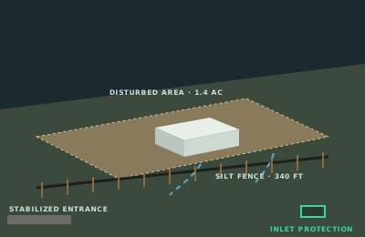
Where are you grading?
What are you sizing?

Which property are you buying or financing?
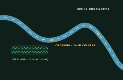
Where does your plant discharge?

What does the establishment do?
Where is the construction site?
Answer it and ePlan opens the Grading and erosion control plan door with your answer filled in.