Parcel line map (free, not a survey)
- Parcel outline and number
- Acreage from county records
- Adjoining parcels
- Aerial image underlay
- What a GIS line can't show
- When to hire a licensed land surveyor
Homeowners and landowners checking their lines
Free parcel line map for your address with acreage, neighbors and an aerial photo, plus what it can't show and when to call a licensed land surveyor.
ePlan fills in
How it works
What you get
The check is free. The paperwork after it is drafted at the ADU permit door.
From public data
is the most side and rear setback a California city can require for a new ADU, so where the line runs matters
Source: Cal. Gov. Code 66314(d)(7)
Check your lot against California ADU law: size, setbacks, fees and the 60-day review clock. Get the permit narrative and checklist; bring your drawings.
Questions
No. A GIS parcel map is drawn from records. Under California law, locating, re-establishing or retracing a property line, or setting a corner monument, is land surveying, which a licensed land surveyor does.
A city or county can require no more than 4 feet from the side and rear lot lines for a new ADU, and no setback for an existing structure converted in the same place and size.
Yes. FEMA's free FIRMette tool prints a full-scale section of the official flood map on a home or office printer, and FIRMettes can be used in all aspects of the National Flood Insurance Program.
Related doors
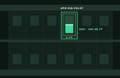
Can you build an ADU here?

Which state and type of government?
What address do you want to check?
Which room are you remodeling?
What are you building or remodeling?
What is the project, and where?
Answer it and ePlan opens the ADU permit door with your answer filled in.