Hunting property map (free)
- Boundary and acreage
- Contours and terrain
- Aerial photo
- Water: streams, ponds and tanks
- Stands, plots, trails and gates
- Legend, scale and north arrow
Hunting landowners and lease holders
Free printable hunting property map: boundary, contours, aerial photo, water, and the stands, food plots and trails you mark.
ePlan fills in
How it works
What you get
The check is free. The paperwork after it is drafted at the Texas Wildlife Exemption Plan door.
From public data
is the farthest apart purple paint marks can be on Texas forest land to count as no-trespass notice (1,000 feet on other land)
Source: Tex. Penal Code 30.05
Draft your Texas wildlife management plan on TPWD form PWD-885, with three of seven practices set up for your land. Free to read, pay to download.
Questions
Paint vertical marks at least 8 inches long and 1 inch wide, with the bottom 3 to 5 feet off the ground, where anyone approaching can see them: no more than 100 feet apart on forest land, or 1,000 feet apart on other land.
Yes, if it was already appraised as open-space ag land or timberland and is actively used for wildlife management in at least three of seven specific ways, to sustain a breeding, migrating or wintering population of native wildlife.
Yes. USGS topographic maps first published on paper from 1884 to 2006 are scanned and free to download through topoView, and newer US Topo maps are digital.
Related doors
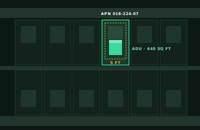
Where is your land in Texas?
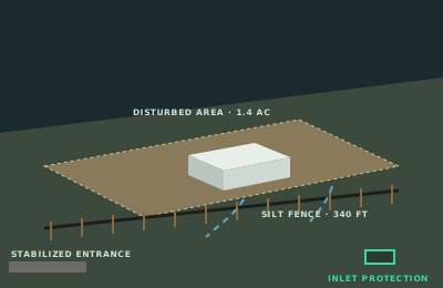
Where are your irrigated fields?
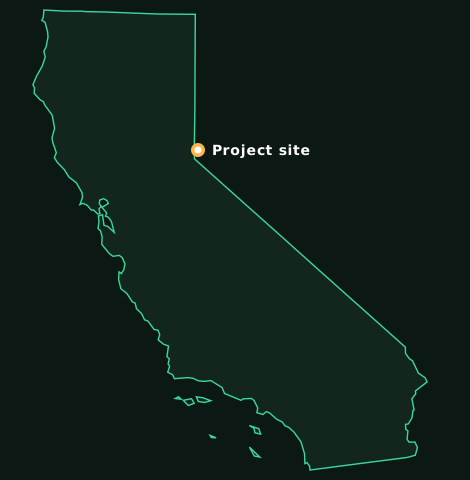
Which California city or county?
Which land, and how many acres?
What business will you run from home?
What is the project, and where?
Answer it and ePlan opens the Texas Wildlife Exemption Plan door with your answer filled in.